Dark Mode

Worlds Most Polluted Urban Centres Data
Data Science and Analytics
Tags and Keywords
Trusted By


"No reviews yet"
Free
About
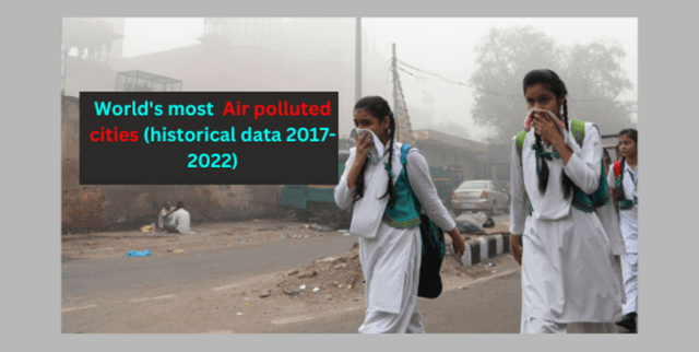
presents detailed information regarding air pollution levels across numerous cities worldwide, spanning the period from 2017 through 2022. The collection incorporates data on major pollutants, including particulate matter (PM2.5 and PM10), nitrogen dioxide (NO2), sulfur dioxide (SO2), and ozone (O3). Air Quality Index (AQI) values are also included, offering a standardised measure for cross-city comparisons. The data is compiled from a variety of reliable sources, such as government bodies, non-profit organisations, and independent research institutions, making it ideal for tracking long-term environmental trends and identifying patterns in air quality degradation.
Columns
- Rank: Indicates the relative rank of the polluted area.
- City: Identifies the city and its specific rank within the relevant country.
- 2022: Represents the annual air pollution level for 2022.
- JAN through DEC: Represents the monthly air pollution level for each corresponding month in 2022.
- 2021, 2020, 2019, 2018, 2017: Represents the annual air pollution levels for each respective year.
Distribution
The dataset is structured as tabular data, typically provided in CSV format (
Air Pollution.csv). It contains 7,323 valid records and comprises 20 distinct columns. The file size is approximately 740.18 kB.Usage
This resource supports various analytical and policy initiatives. It can be used for analysing the specific factors contributing to poor air quality in different urban settings and for developing highly effective strategies aimed at air quality improvement. Furthermore, it is suitable for tracking temporal changes in contamination levels and for educational efforts focused on raising awareness about the impact of air contamination on public health.
Coverage
The data collection maintains a global geographical scope, encompassing over 7,000 cities worldwide. The temporal coverage spans five full years, from 2017 to 2022. The scope focuses entirely on environmental measurements, specifically concentrations of common atmospheric pollutants and calculated air quality metrics.
License
CC0: Public Domain
Who Can Use It
- Researchers: To perform detailed analysis of environmental trends and regional pollution differences.
- Policymakers: To inform and refine urban planning initiatives and environmental regulatory development.
- Data Analysts: To build predictive models related to air quality and pollution forecasting.
Dataset Name Suggestions
- Global City Air Quality Metrics 2017-2022
- World's Most Polluted Urban Centres Data
- Atmospheric Contamination Levels by City
- Air Quality Index and Pollutant Concentrations
Attributes
Original Data Source: Worlds Most Polluted Urban Centres Data
Loading...