Dark Mode

Regional Carbon Dioxide Footprint Data
Data Science and Analytics
Tags and Keywords
Trusted By


"No reviews yet"
Free
About
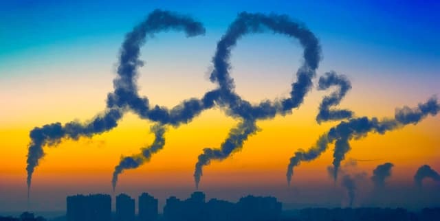
Estimates of carbon dioxide emissions are provided in tonnes of CO2 per person per year, focusing on the emissions within the scope of influence of local authorities across the United Kingdom. This dataset provides nationally consistent carbon dioxide emission estimates suitable for setting environmental baselines at the local authority and regional level. This data is published by Lincolnshire County Council and sourced from UK national statistics.
Columns
The dataset contains 13 fields detailing the emission metrics and geographic context. Key columns include:
- Organisation Name: Identifies the organisation associated with the data coverage, typically the local authority.
- Published Date: The date on which the information provided in the dataset was true (e.g., 11 July 2022).
- Duration From / Duration To: The start and end dates defining the time period of the data record.
- Reporting Period Type: The defined period covered, consistently noted as 'Calendar Year'.
- Geo Entity Name: The type of geographic area (e.g., District Council or County).
- Year: The calendar year for the specific emission estimate, covering 2015 through 2020 in the sample.
- CO2 Emissions Tonnes Per Person: The core measure, quantifying total CO2 emissions (tonnes) per person per year. Observed values range from 2.8 to 6.3.
Distribution
This is tabular data, typically formatted as a CSV file. The sample file size is 12.87 kB, containing 48 records across 13 distinct columns. The data follows a 'Calendar Year' reporting period type.
Usage
This data is highly valuable for planning and monitoring local emissions reduction initiatives. It allows for robust analysis of carbon footprints across different regions and is ideal for setting strategic environmental baselines. Potential uses include regional climate impact studies, environmental policy development, and assessing local authority performance against emission targets.
Coverage
The geographic scope covers local authority and regional areas within the UK. The specific geographic entities represented include County and District Council levels. The time range within the data spans from 2015 to 2020. The estimates provided are specific to emissions under the influence of the local authorities.
License
CC0: Public Domain
Who Can Use It
- Policy Makers: To inform environmental regulations and regional climate strategy.
- Environmental Scientists: For conducting baseline studies and tracking decarbonisation progress.
- Local Government: For internal monitoring, reporting, and developing targeted emission reduction programs.
Dataset Name Suggestions
- UK Local Authority CO2 Per Capita Emissions
- Regional Carbon Dioxide Footprint Data
- UK CO2 Baseline Estimates by Local Authority
Attributes
Original Data Source: Regional Carbon Dioxide Footprint Data
Loading...