Dark Mode

Population and Road Data India
Data Science and Analytics
Tags and Keywords
Trusted By


"No reviews yet"
Free
About
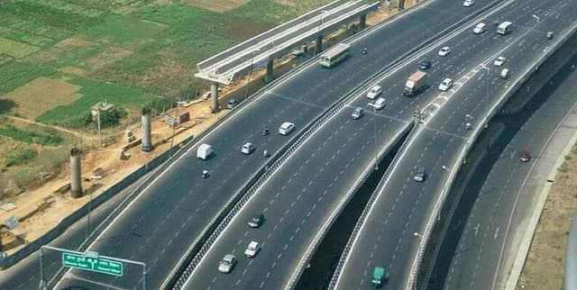
The road infrastructure and population distribution across Indian states and Union territories. It was assembled by combining information from official Government of India (GOI) websites, specifically utilising annexures from the Transport Ministry. The data provides a view of the density of streets, roads, and highways within India, reflecting land infrastructure per capita for each region.
Columns
The dataset includes 27 columns, offering details on road networks, geographical area, and population figures:
- Name of the States: Identifies the 29 states and 6 Union territories that constitute the Republic of India.
- National Highways: Represents the length of national highways, which connect various states.
- State Highways: Indicates the length of internal highways found within individual states.
- District Roads: Measures the length of roads within districts, which are administrative subdivisions of states.
- Rural Roads: Provides the length of roads specifically located in rural areas.
- Urban roads: Gives the length of roads situated in urban areas.
- Project Roads: Details the length of roads developed under specific infrastructure projects.
- Total road Length: The sum of rural, urban, and project roads within a state.
- Total Area: Specifies the total geographical area of a given state.
- Urban Road density: Calculates the density of urban roads relative to the urban area.
- Rural Road density: Calculates the density of rural roads relative to the rural area.
- Entire State Road length per 1000 sq km: Shows the density of all roads in the state per 1000 square kilometres.
- Urban Road lngth per 1000 sq km: Indicates the length of urban roads per 1000 square kilometres.
- Rural Road lngth per 1000 sq km: Indicates the length of rural roads per 1000 square kilometres.
- Road Density: Represents the overall road density per unit area.
- Road Density per 1000 Sq. Km - National Highways: Shows the density of national highways per 1000 square kilometres.
- Road Density per 1000 Sq. Km - State Highways: Shows the density of state highways per 1000 square kilometres.
- Road Density per 1000 Sq. Km - District Roads: Shows the density of district roads per 1000 square kilometres.
- Road Density per 1000 Sq. Km - Rural Roads: Shows the density of rural roads per 1000 square kilometres.
- Road Density per 1000 Sq. Km - Urban roads: Shows the density of urban roads per 1000 square kilometres.
- Road Density per 1000 Sq. Km - Project Roads: Shows the density of project roads per 1000 square kilometres.
- Area: The total geographical area of the state.
- Rural Area (2011 census): The geographical area categorised as rural according to the 2011 census.
- Urban Area (2011 census): The geographical area categorised as urban according to the 2011 census.
- Rural Pop (2011 census): The total population residing in villages as recorded in the 2011 census.
- Urban Pop (2011 census): The total number of people residing in urban areas as per the 2011 census.
- Total Population: The overall population of the state.
Distribution
The dataset is provided in CSV format and has a file size of 6.6 kB. It contains 36 records, representing each of India's 29 states and 6 Union territories. While most columns have 36 valid entries, columns such as 'Urban Road density', 'Rural Road density', 'Rural Area (2011 census)', and 'Urban Area (2011 census)' each contain one missing value.
Usage
This dataset is suitable for geographical analysis, urban and regional planning, and studies related to infrastructure development. It can be used to assess variations in road infrastructure across different states, to understand population distribution in relation to transportation networks, and to inform policy decisions concerning future development projects.
Coverage
The dataset covers all 29 states and 6 Union territories of India, offering a nationwide perspective on road infrastructure and population metrics. Demographic and area data for rural and urban classifications are based on the 2011 census. Certain specific data points, such as some road densities and area figures, may have minor gaps with one missing entry out of the 36 records. The data is not expected to be updated further.
License
CC0: Public Domain
Who Can Use It
This dataset is useful for urban planners, policy makers, researchers studying Indian infrastructure, geographical information system (GIS) analysts, students of public administration, and organisations involved in transport and logistics planning within India.
Dataset Name Suggestions
- India Road and Population Data
- Indian State Infrastructure Metrics
- India Road Network Density
- Population and Road Data India
- India's Transport Infrastructure by State
Attributes
Original Data Source: Population and Road Data India
Loading...