Dark Mode

Smart City Urban Mobility and Traffic Dynamics
Data Science and Analytics
Tags and Keywords
Trusted By


"No reviews yet"
Free
About
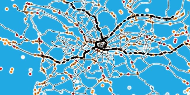
Explore traffic, weather, road types, and vehicle trends within a smart city environment. This dataset allows for a deep dive into the correlation between congestion and temperature, the assessment of road efficiency, and the scrutiny of population effects on urban mobility. It offers valuable insights into city mechanics through a combination of environmental and traffic flow metrics.
Columns
- timestamp: The date and time of the recorded data point.
- congestion_level: A numeric value representing the density of traffic flow (0.10 to 0.90); higher values indicate heavier congestion.
- weather_conditions: Categorical variable indicating prevailing weather (e.g., 'Clear', 'Cloudy').
- road_type: Categorical variable describing the road classification ('Highway', 'City Street', 'Residential').
- vehicle_type: Categorical variable denoting the type of vehicle involved ('Car', 'Bus', 'Bicycle').
- temperature: Numeric value representing the temperature in degrees (ranging from 15 to 35) at the collection point.
- humidity: Numeric value indicating the humidity level (20 to 90), which influences road conditions.
- wind_speed: Numeric value reflecting wind speed (0 to 20), potentially impacting driving conditions.
- precipitation: Numeric value indicating the amount of precipitation (0 to 10), such as rain or snow.
- population_density: Numeric value representing the population density in the area (500 to 10,000).
Distribution
- Format: CSV
- Size: 5.07 MB
- Structure: 10 columns
- Records: Approximately 32,900 valid rows
Usage
- Urban Planning: Assess road efficiency and infrastructure needs based on traffic density and road types.
- Environmental Analysis: Study the impact of weather conditions (precipitation, wind, temperature) on traffic flow.
- Predictive Modelling: Develop models to forecast congestion levels based on time, weather, and population density.
- City Mechanics Research: Scrutinise the relationship between population density and mobility patterns.
Coverage
- Time Range: 01 August 2022 to 02 August 2023.
- Geographic Scope: Smart City environments.
- Demographic/Data Scope: Includes population densities ranging from 500 to 10,000; covers various road types including residential and city streets, and vehicle types such as bicycles and buses.
License
CC0: Public Domain
Who Can Use It
- Data Scientists
- Urban Planners
- Traffic Engineers
- Smart City Researchers
- Civic Hackers
Dataset Name Suggestions
- Smart City Urban Mobility and Traffic Dynamics
- Yearly Urban Traffic and Weather Patterns
- City Congestion and Environmental Metrics
- Smart City Road Usage and Conditions
Attributes
Original Data Source: Smart City Urban Mobility and Traffic Dynamics
Loading...