Dark Mode

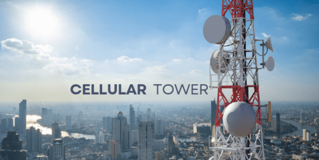
FCC Licensed Wireless Towers Data
Data Science and Analytics
Tags and Keywords
Trusted By


"No reviews yet"
Free
About
The data offers visibility into the telecommunications landscape of the US, detailing licensed cellular tower locations. It is designed to assist users in understanding where physical infrastructure is concentrated, who the main licensees are, and the specific technical attributes of the supporting structures.
Columns
The dataset contains 29 columns of information, including identifiers, geographic coordinates, and technical details:
- Object ID: Unique numerical identifier.
- Unique System ID: A distinct system identification number.
- Licensee: The entity or carrier legally operating the tower (e.g., Verizon Wireless, AT&T Mobility LLC).
- Call Sign: The FCC-assigned call sign.
- LocNum: Location number reference.
- LatDeg, LatMin, LatSec, LatDir: Latitude components (Degrees, Minutes, Seconds, Direction).
- LonDeg, LonMin, LonSec, LonDir: Longitude components (Degrees, Minutes, Seconds, Direction).
- Location Address (LocAdd): Physical street address of the tower.
- Location City (LocCity), Location County (LocCounty), Location State (LocState): Geographic administrative divisions. The majority of towers are located in states like TX and CA.
- Nepa: Environmental assessment indicator.
- QZone: Date/time field, noted to have a low percentage of valid data.
- TowReg: Tower registration number.
- Supported Structure (SupStruc) and Overall Structure (AllStruc): Metrics related to structure heights.
- Structure Type (StrucType): The physical type of structure, such as TOWER or LTOWER.
- License Status (LicStatus): Current licensing status.
- Latitude Decimal (latdec) and Longitude Decimal (londec): Decimal representation of coordinates.
- URL: Link to the associated public filing.
- X and Y: Coordinate fields.
Distribution
The dataset encompasses 47,300 records. The file size is 13.52 MB, typically delivered in a CSV format. All necessary fields are fully populated, although the 'QZone' date field has minimal validated entries. Data validity across most fields is 100%.
Usage
Ideal applications include:
- Analyzing network coverage quality and identifying service gaps.
- Pinpointing areas with high density of cellular infrastructure.
- Evaluating market dominance and infrastructure share among different licensees.
- Geospatial mapping and visualization of telecommunication assets.
Coverage
The geographic scope covers tower locations throughout the United States. The ownership data reveals that key carriers like Verizon Wireless (17%) and AT&T Mobility LLC (13%) are significant licensees. While structure heights vary, popular structure types include TOWER (29%) and LTOWER (19%).
License
CC0: Public Domain
Who Can Use It
- Telecommunications Firms: For competitive analysis, network planning, and infrastructure expansion strategies.
- Geospatial Analysts and Cartographers: For mapping US wireless infrastructure.
- Market Researchers: To study carrier density and distribution of assets.
- Academic Researchers: Studying technological access and connectivity trends.
Dataset Name Suggestions
- US Cellular Tower Locations Registry
- FCC Licensed Wireless Towers Data
- North American Cellular Infrastructure
- USA Wireless Tower Assets
Attributes
Original Data Source: FCC Licensed Wireless Towers Data
Loading...