Dark Mode

Worldwide Cities and Towns Geographical Data
Data Science and Analytics
Tags and Keywords
Trusted By


"No reviews yet"
Free
About
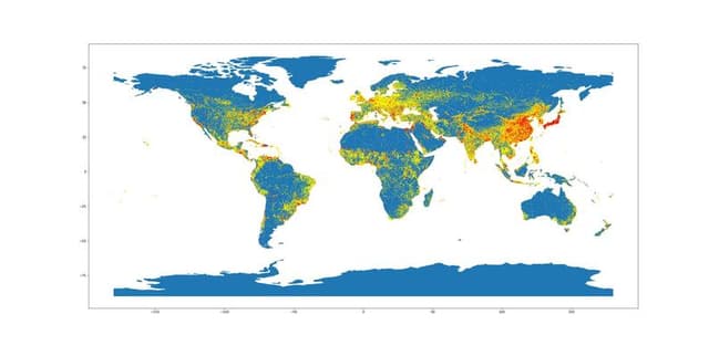
An accurate and detailed geographical dataset derived from OpenStreetMap (OSM) data, offering a meticulously filtered extract of global cities and towns. It represents a significant effort to process numerous tags to obtain a clean subset of geographical locations. The file provides crucial details like geo coordinates, administrative levels, multilingual place names, and postal information, making it valuable for location-based applications, research, and analysis.
Columns
- country_code: The two-character code representing the country.
- country: The full name of the country.
- latitude: The geographical latitude coordinate.
- longitude: The geographical longitude coordinate.
- name: The name of the place, often including multilingual variants.
- place_id: A unique internal identifier for the location.
- parent_place_id: The internal ID referencing the parent administrative place.
- linked_place_id: The internal ID of any related or linked location.
- importance: A derived metric indicating the significance of the place.
- geometry_sector: The specific OpenStreetMap geometry sector identification.
- rank_address: The assigned rank for address lookups.
- rank_search: The assigned rank for general search queries.
- osm_id: The official OpenStreetMap identifier.
- osm_type: The OpenStreetMap feature type (e.g., N for node, W for way).
- class: The classification of the geographical feature (uniformly 'place').
- type: The specific type of place, predominantly 'town' or 'city'.
- admin_level: The administrative level within the political hierarchy.
- address: Contains structured address components, such as the continent name.
- extratags: Additional metadata tags associated with the entry.
- area: Data pertaining to the physical area of the location.
- wikipedia: Links to corresponding Wikipedia articles for reference.
- token_info: Information regarding data tokenisation (currently empty).
- housenumber: Specific house number details (currently empty).
- postcode: The relevant postal code for the location.
Distribution
The information is delivered in a CSV file format titled
basic_places.csv. The file size is 54.33 MB and includes 23 distinct columns. The dataset contains approximately 126,000 geographical records. The primary entity types recorded are towns (89%) and cities (9%).Usage
This resource is suited for geospatial analysis, providing accurate location data for large-scale modeling projects. It is ideal for developers building mapping systems or location-based services that require high-quality geo coordinates and administrative boundaries. It can also be used for research into global urbanisation and geographical nomenclature. Free APIs based on this data are also available for specific use cases.
Coverage
The dataset offers worldwide geographical coverage, detailing continents, countries, states, cities, and towns globally. It was last updated in July 2022 and is refreshed monthly. While providing extensive coordinate and naming data, it should be noted that certain fields, such as address and postcode, are unavailable for the majority of records (around 80% missing).
License
Attribution 4.0 International (CC BY 4.0)
Who Can Use It
- GIS Professionals: For integrating precise mapping layers into Geographic Information Systems.
- E-commerce/Logistics Firms: Implementing accurate location lookups and delivery routing systems.
- Urban Planners: Analyzing population distribution and administrative structures of towns and cities.
- Academic Researchers: Performing macro-level studies on global settlement patterns.
Dataset Name Suggestions
- OpenStreetMap Global Place Entity Listing
- Worldwide Cities and Towns Geographical Data
- High-Accuracy OSM Basic Places Extract
- Global Settlement Geo-Reference Data
Attributes
Original Data Source: Worldwide Cities and Towns Geographical Data
Loading...