Dark Mode

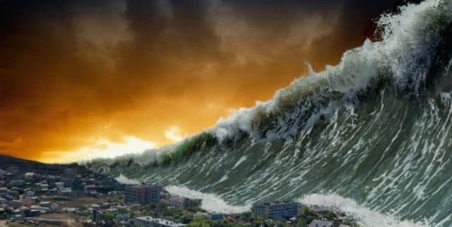
Global Tsunami Events Historical Record
Data Science and Analytics
Tags and Keywords
Trusted By


"No reviews yet"
Free
About
A detailed record of global tsunami events spanning over two centuries, from 1800 to 2021. The data allows for the visualisation and analysis of historical disasters by providing crucial metrics, geographical locations, causes, and extensive damage assessments, including human casualties and property destruction. It integrates information concerning both the tsunami source events and the specific locations where the effects (runups) occurred.
Columns
The dataset contains 26 fields, including precise temporal metrics (Year, Month, Day, Hour, Minute, Second) and geographical coordinates (Latitude, Longitude, Country, Location Name). Key scientific variables include Tsunami Event Validity, Tsunami Cause Code, Maximum Water Height in meters, and various Tsunami Magnitude and Intensity scales (e.g., Iida). The collection also features critical impact metrics such as Earthquake Magnitude, Total Deaths, Total Missing, Total Injuries, Total Damage (in millions of dollars), Total Damage Description, Total Houses Destroyed, and Total Houses Damaged.
Distribution
The data product is provided in CSV format and has an approximate size of 169.78 kB. It contains over 2,160 records, detailing individual tsunami events and their resulting effects worldwide. While geographical and temporal fields are well populated, certain precise metrics like the second of occurrence, or detailed damage assessments (e.g., total missing people or total damage value), exhibit a high percentage of missing values.
Usage
Ideal for scientific research in seismology, oceanography, and geology. It can be used for modelling tsunami risk, understanding historical disaster patterns, and performing spatial analysis of event locations and causality. It is particularly valuable for visualising the long-term historical impacts of natural disasters and studying physical evidence, such as tsunami deposits.
Coverage
The temporal scope ranges from 1800 through to 2021. Geographically, the data covers global events, documenting 104 unique countries, with concentrations of recorded events in the USA and Indonesia. The records detail events worldwide, spanning the full range of latitudes (-63 to 71.8) and longitudes (-180 to 180).
License
CC0: Public Domain
Who Can Use It
Geological Researchers interested in studying the physical evidence of tsunami deposits and long-term event history. Data Scientists for developing predictive models related to event likelihood, frequency, and impact severity. Public Safety Officials for historical risk assessment and updating disaster preparedness strategies. Academics studying historical disaster patterns and the socio-economic impact of these events.
Dataset Name Suggestions
- Global Tsunami Events Historical Record
- Historical Tsunami Disaster Metrics (1800-2021)
- Tsunami Source and Runup Database
- Worldwide Tsunami Data Since 1800.
Attributes
Original Data Source: Global Tsunami Events Historical Record
Loading...