Dark Mode

Geospatial Data for Subway Stores in the USA
Data Science and Analytics
Tags and Keywords
Trusted By


"No reviews yet"
Free
About
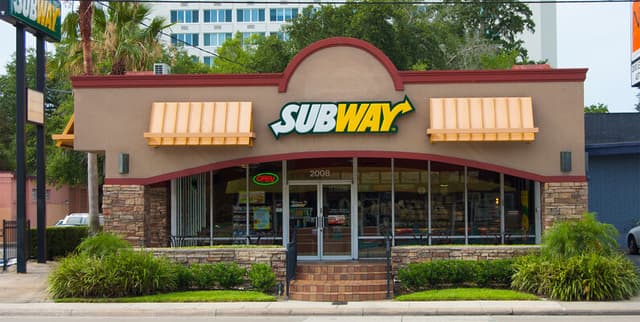
Subway restaurant locations across the United States. Sourced from the official website, it includes key information for each establishment, making it a valuable resource for geographical and business analysis related to one of the largest fast-food chains in the US. The dataset is intended for anyone interested in the distribution and specifics of Subway outlets.
Columns
- just_id: A unique numerical identifier for each restaurant location.
- title: The title or name of the Subway location as listed on the website, which can include co-located businesses like "Shell Gas Station/C-Store".
- address_1: The primary street address for the restaurant.
- address_2: An optional secondary address line, such as a suite or unit number. This field has a high percentage of null values.
- open_hours: The operating hours for each day of the week for the restaurant.
- city: The city where the restaurant is located.
- state: The state where the restaurant is located.
- postal_code: The postal code for the restaurant's location.
- latitude: The geographic latitude of the restaurant, in decimal degrees.
- longitude: The geographic longitude of the restaurant, in decimal degrees.
Distribution
The data is available line, such as a suite or unit number. This field has a high percentage of null values.
- open_hours: The operating hours for each day of the week for the restaurant.
- city: The city where the restaurant is located.
- state: The state where the restaurant is located.
- postal_code: The postal code for the restaurant's location.
- latitude: The geographic latitude of the restaurant, in decimal degrees.
- longitude: The geographic longitude of the restaurant, in decimal degrees.
Distribution
The data is available in a single CSV file named
subway_locations_in_us.csv, with a file size of approximately 4.83 MB. It contains around 22,600 rows and 10 columns. The dataset is expected to be updated annually.Usage
This dataset is ideal for a variety of applications, including:
- Market Research: Analysing competitor locations and identifying areas with high or low restaurant density.
- Geospatial Analysis: Mapping the distribution of Subway restaurants across the US to understand regional concentrations.
- Business Intelligence: Informing site selection strategies for new retail or service locations.
- Logistics and Planning: Optimising delivery routes or supply chain networks based on store locations.
Coverage
- Geographic: The dataset exclusively covers Subway restaurant locations within the United States.
- Time Range: This is the current version of the dataset, with plans for annual updates.
- Demographic: Not applicable as the data pertains to business locations, not individuals.
License
CC0: Public Domain
Who Can Use It
- Data Analysts and Scientists: For performing spatial analysis and creating business intelligence dashboards.
- Urban Planners: To study the commercial landscape and distribution of fast-food chains in cities.
- Marketing Professionals: For targeted advertising campaigns based on geographic proximity to store locations.
- Real Estate Developers: To assess commercial opportunities and foot traffic in specific areas.
Dataset Name Suggestions
- US Subway Restaurant Locations
- Geospatial Data for Subway Stores in the USA
- United States Subway Franchise Directory
- Subway Outlets in the US: A Geospatial Dataset
Attributes
Original Data Source: Geospatial Data for Subway Stores in the USA
Loading...