Dark Mode

Marine Institute Tidal Forecast Data
Data Science and Analytics
Tags and Keywords
Trusted By


"No reviews yet"
Free
About
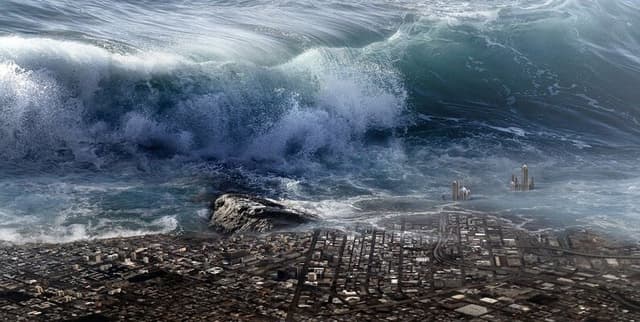
Offers crucial tidal predictions derived from measured data collected via the Irish National Tide Gauge Network and modelled data generated by the Marine Institute’s operational hydrodynamic model. The predictions are calculations of future tide ranges informed by available oceanographic parameters. Users can access predictions for specific stations and datetimes spanning the next two years. The key metric provided is the water level, defined as the sea surface height above the local Lowest Astronomical Tide, measured in meters.
Columns
- time: Records the timestamp associated with the tidal prediction, with a high degree of unique values.
- longitude: Provides the geographical longitude for the specific measurement station.
- latitude: Provides the geographical latitude for the specific measurement station.
- stationID: The unique identifier for the measuring location (e.g., Aranmore, Ballycotton).
- Water_Level: The predicted water level, representing sea surface height above the Lowest Astronomical Tide, expressed in meters.
- Water_Level_ODM: An additional metric related to the observed water level, denoted as Water Level ODM.
Distribution
The dataset is provided in a standard structured file format, typically CSV. The specific file, named "Tide Prediction.csv," has a size of approximately 437.54 MB and contains 6 columns. The sample data analysis indicates a count of over 367,000 records.
Usage
This data product is ideal for applications requiring accurate forecasts of sea surface height. Primary use cases include maritime navigation planning, coastal engineering projects, climate research focused on water bodies, and analysis related to natural disasters and weather patterns affected by tidal dynamics. It is particularly useful for modelling future tide ranges.
Coverage
The data provides tidal information generated through the Irish National Tide Gauge Network. Predictions are available for selection within a two-year future range from the date of calculation. Sample historical data includes records dating back to January 2017. The data focuses on specific geographical points identified by latitude and longitude, corresponding to specific stations.
License
Creative Commons Attribution 4.0
Who Can Use It
- Oceanographers and Earth Scientists: For hydrodynamic modelling and research into water bodies and climate change.
- Mariners and Port Authorities: For safe navigation and operational planning based on future tide ranges.
- Environmental Regulators: For monitoring coastal environments and assessing potential impacts of sea level changes.
- Data Scientists: For advanced temporal and geospatial analysis related to maritime patterns.
Dataset Name Suggestions
- Marine Institute Tidal Forecast Data
- Irish National Tide Prediction Model
- Oceanographic Parameter Predictions
- Future Tide Range Dataset
Attributes
Original Data Source:Marine Institute Tidal Forecast Data
Loading...