Dark Mode

Bangladesh Localities and Divisions Geolocation
Data Science and Analytics
Tags and Keywords
Trusted By


"No reviews yet"
Free
About
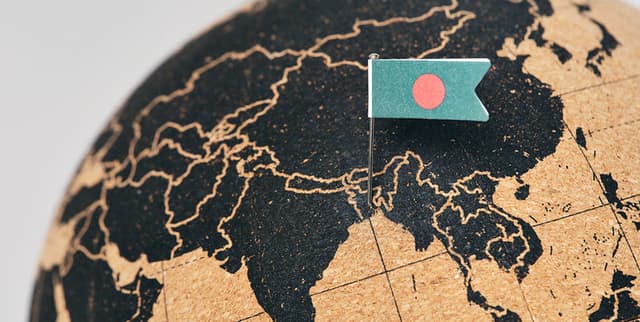
Geolocation information regarding major cities, neighbourhoods, and localities within Bangladesh facilitates detailed spatial and demographic analysis. Sourced using a combination of Nominatim, Positionstack, and Opencage geocoding APIs, the data provides precise coordinates and administrative classifications for various locations. It serves as a supplementary resource for mapping, regional planning, and understanding the geographic distribution of localities across the country's divisions.
Columns
- area_name: The specific name of the location (e.g., Daulatpur).
- latitude: The latitudinal coordinate of the location.
- longitude: The longitudinal coordinate of the location.
- area_type: The classification of the location, such as locality, neighbourhood, or venue.
- county_name: The name of the district or county where the location is situated (e.g., Dhaka, Chittagong).
- region: The name of the administrative division or region (e.g., Dhaka Division, Chattogram Division).
Distribution
- Format: CSV
- Size: 36.73 kB
- Structure: 6 columns
- Records: 560 valid entries with 100% validity across key coordinate columns.
Usage
- Supplementary data for spatial analysis of Bangladesh's demographics.
- Geospatial mapping of administrative divisions and local neighbourhoods.
- Enhancing location-based services and applications focused on Bangladesh.
Coverage
- Geographic Scope: Bangladesh, covering major cities, neighbourhoods, and localities.
- Administrative Scope: Includes data across 64 unique districts (counties) and 11 unique regions (divisions).
- Data Availability: High validity for coordinates and county names; 'area_type' consists primarily of localities (84%).
License
CC BY-NC-SA 4.0
Who Can Use It
- Geospatial Analysts: For mapping and regional distribution studies.
- Demographers: To support population and locality analysis.
- Urban Planners: For understanding the layout of neighbourhoods and localities within districts.
- Data Scientists: As a supplementary dataset for enriching location-based models.
Dataset Name Suggestions
- Bangladesh Localities and Divisions Geolocation
- Bangladesh Spatial Coordinates and Administrative Regions
- Major Cities and Neighborhoods of Bangladesh
- Bangladesh Regional Geodata
Attributes
Original Data Source: Bangladesh Localities and Divisions Geolocation
Loading...