Dark Mode

Global Country and Population Details
Data Science and Analytics
Tags and Keywords
Trusted By


"No reviews yet"
Free
About
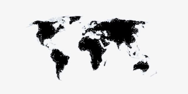
Provides essential administrative details for the world's countries and areas, including their population figures, official area codes, region, and continent classifications. This resource is designed to save time when performing data visualisations, particularly those that require grouping countries geographically. By easily joining this data, users can calculate and display continent or region average levels, simplifying the process of creating large-scale visual summaries. The information was compiled from data scraped from the United Nations Statistics Division and Wikipedia’s list of countries and dependencies by population.
Columns
country _or_area: The official name of the country or area (250 unique values).
iso_alpha3 _code: The three-letter ISO alpha3 Code for identification.
m49_code: The M49 numerical code.
region_1: The primary region that the country or area belongs to (e.g. Caribbean, Eastern Africa).
region_2: Additional information or secondary classification of the Country or area.
continent: The continent to which the country belongs (e.g. Africa, Europe).
population_rank: The country’s rank based on its population size globally.
population: The total population figure.
population_percentage_ of_the_world: The country's population expressed as a percentage of the world's total.
date: The date when the associated population data was last updated.
Distribution
The dataset is provided as a CSV file named
country_and_area_data.csv, which is approximately 21.52 kB in size. It contains information spanning 10 distinct columns for 250 unique countries or areas globally. All core geographical and administrative fields (country _or_area, iso_alpha3 code, m49_code, region_1, region_2, continent) are 100% valid with no missing entries. The population-related fields (population_rank, population, population_percentage of_the_world, and date) contain 249 valid entries, indicating one missing value in each of those four columns. This resource is expected to be updated annually.Usage
This data product is highly suitable for statistical analysis and geographic mapping. It simplifies workflows for users needing to group global data points by providing pre-joined classification fields. Ideal applications include building dashboards that contrast continental or regional average statistics, supporting regional economic or demographic studies, and creating maps that require accurate administrative boundaries and codes.
Coverage
The data provides a global perspective, covering 250 distinct countries or areas. Geographic scope includes detailed regional assignments (region_1, region_2) based on 23 unique primary regions and 7 unique continents. Demographic coverage includes population size, rank, and percentage of world population. The data update dates vary, though 1 July 2021 is the most frequent date cited for population statistics.
License
CC0: Public Domain
Who Can Use It
- Data Visualisers For easily creating visualisations that group countries by larger regions or continents.
- Geographical Analysts For studies involving regional comparisons and classification using standardised M49 and ISO codes.
- Developers Requiring a validated, up-to-date source for country names, administrative codes, and basic demographics for application integration.
- Statisticians When calculating global or regional averages and trends related to population.
Dataset Name Suggestions
- Global Country and Population Details
- World Region Classification Data
- Administrative Geographic World Data Resource
Attributes
Original Data Source: Global Country and Population Details
Loading...