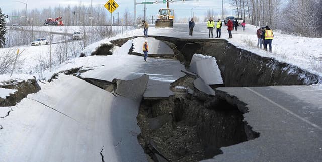
Global Earthquake and Volcano Events Log
Data Science and Analytics
Tags and Keywords
Trusted By


"No reviews yet"
Free
About
Latest Earthquake and Eruption Dataset details seismic and volcanic activities observed across the globe up until 2023. It serves as a foundational resource for analyzing global natural disasters, tracking temporal patterns, assessing hazard risk, and validating information reported by various agencies. This dataset facilitates detailed examination of events, including their location, magnitude, and associated risks like tsunamis.
Columns
- event_id: A unique identifier assigned to each recorded earthquake or eruption event.
- type: Specifies the nature of the event, indicating whether it is an earthquake or an eruption.
- location: Defines the geographic coordinates where the event occurred.
- magnitude: Measures the intensity or size of the earthquake or eruption.
- depth: Specifies how far below the Earth’s surface the event took place.
- timestamp: Records the exact date and time when the event happened.
- status: Details the reporting status of the event (e.g., "automatic" or "reported").
- tsunami: Binary indicator (0 or 1) showing whether a tsunami was generated by the event.
- alert: Indicates the associated alert level or status.
- sources: Lists the agencies or data sources that reported the event.
- event_url: Provides a link for access to supplementary information regarding the specific event.
Distribution
The data is primarily structured in a GeoJSON format, available as a 13.82 MB file named
data.json. The structure is based on a FeatureCollection containing individual features. The metadata suggests the data records include a count of 9633 entries, though the file preview may be truncated due to its large size. The data is available for download or creation of a notebook to view the full content.Usage
This dataset is ideal for several applications, including:
- Seismic and Volcanic Activity Analysis: Identifying global regions that are prone to earthquakes and volcanic eruptions by utilizing the type, magnitude, and location data.
- Tsunami Risk Assessment: Evaluating the potential risk of tsunamis in coastal areas by examining the dedicated 'tsunami' indicator column.
- Temporal Trends: Studying seasonal variations or long-term shifts in seismic and volcanic activity using the 'timestamp' column to analyse patterns over time.
- Alert Level Monitoring: Tracking events with high alert statuses to better understand potential impacts on infrastructure and local communities.
- Data Source Validation: Cross-referencing reports from multiple agencies listed in the 'sources' column to ensure data accuracy and reliability.
Coverage
The dataset spans a significant time range, recording Earthquake Events Worldwide from 3 February 1990 up to 3 March 2023. The scope is global, focusing on natural disasters related to Earth and Nature. Specific demographic scope notes are not applicable as the data concerns geological events.
License
CC0: Public Domain
Who Can Use It
- Geologists and Seismologists: For detailed research into tectonic activity and hazard mapping.
- Disaster Management Teams: For performing risk assessments, especially regarding tsunami threats in coastal regions.
- Data Scientists and Analysts: For time series analysis and modelling of natural disaster frequency and magnitude.
- Educational Institutions: For teaching modules focused on global natural disasters and geological processes.
Dataset Name Suggestions
- Global Earthquake and Volcano Events Log
- Worldwide Seismic Activity Tracker (1990-2023)
- Natural Disaster Geo-Data
- USGS Earthquakes and Eruptions History
Attributes
Original Data Source: Global Earthquake and Volcano Events Log
Loading...
