Dark Mode

State-Level Agricultural Trends in India
Data Science and Analytics
Tags and Keywords
Trusted By


"No reviews yet"
Free
About
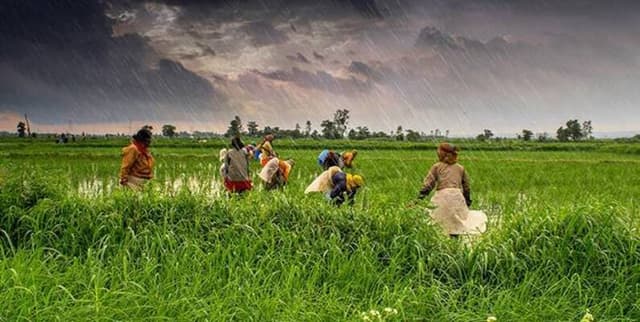
This collection provides detailed historical data linking rainfall and agricultural output across India, spanning a 52-year period. It was compiled to enable users to explore the relationship between climate patterns and crop yields at the state level. The dataset includes measurements for rainfall and productivity metrics for over 30 distinct crops, capturing data for 20 Indian states from 1966 through to 2017. This resource offers valuable insight into long-term agricultural trends and climate impact in the region.
Columns
The data structure includes 85 columns, detailing various metrics. Key columns available for analysis include:
- State Name: Identifies the Indian state (18 unique values).
- Year: The measurement year, ranging from 1966 to 2017.
- State Code/Dist Code: Numerical identifiers for specific states and districts.
- RICE AREA (1000 ha): The area harvested for rice, measured in thousands of hectares.
- RICE PRODUCTION (1000 tons): The total production volume of rice, measured in thousands of tonnes.
- RICE YIELD (Kg per ha): The amount of rice produced per hectare.
- WHEAT AREA (1000 ha): The area harvested for wheat, measured in thousands of hectares.
- WHEAT PRODUCTION (1000 tons): The total production volume of wheat, measured in thousands of tonnes.
- WHEAT YIELD (Kg per ha): The amount of wheat produced per hectare. (Note: Many other columns relating to various crops are included in the full file.)
Distribution
The data is provided in a CSV file format, titled
rain-agriculture.csv, with a size of 1 MB. It is structured with 85 columns and contains 936 valid records. The dataset is organised primarily by State Name and Year.Usage
This data product is ideally suited for studies in agricultural economics, historical climatology, and regional planning. Specific use cases include:
- Conducting historical trend analysis of crop production and yield fluctuations.
- Developing statistical models to predict agricultural output based on yearly rainfall patterns.
- Creating data visualizations to illustrate the 52-year span of agricultural change across Indian states.
- Serving as foundational data for beginner and intermediate-level data science projects focused on large-scale temporal data.
Coverage
The dataset focuses geographically on India, providing records for 20 distinct Indian states. The time range spans 52 years, beginning in 1966 and concluding in 2017. The agricultural scope covers production, area, and yield metrics for over 30 different crops.
License
CC0: Public Domain
Who Can Use It
The primary intended users include:
- Researchers and Academics: Utilizing the data for studies on climate change impact, food security, and agricultural policy evaluation.
- Data Science Enthusiasts: Applying machine learning or statistical methods to a high-quality, real-world historical dataset.
- Government Analysts: Reviewing state-level agricultural performance over half a century.
- Students: Learning data visualization and basic data cleaning techniques with a well-defined public domain resource.
Dataset Name Suggestions
- Indian Agriculture Historical Data
- India Crop Production and Rainfall Metrics (1966–2017)
- State-Level Agricultural Trends in India
- India Rainfall and Crop Yield Analysis
Attributes
Original Data Source: State-Level Agricultural Trends in India
Loading...