Dark Mode

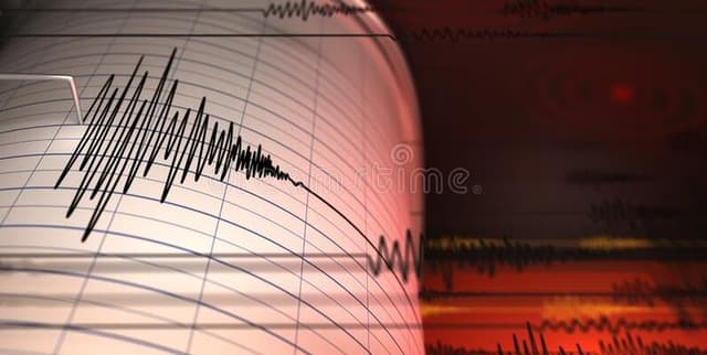
Italian Earthquake Seismic Events
Data Science and Analytics
Tags and Keywords
Trusted By


"No reviews yet"
Free
About
This catalogue contains a detailed record of seismic events spanning 35 years, collected between 1985 and April 2020. The collection focuses on earthquakes within defined Italian geographical boundaries, registering a magnitude equal to or greater than 1.5. It provides crucial data points including the location, precise time, depth, magnitude, and the type of magnitude calculation for each event. A total of 181,777 seismic events are documented within this collection.
Columns
The collection includes essential parameters for each seismic event:
- Number of event: An index or sequence number for the record.
- EventID: A unique identifier for the specific event.
- Time: The date and time of the event's occurrence.
- Latitude: The location coordinate (in degrees North).
- Longitude: The location coordinate (in degrees East).
- Depth/Km: The ipocenter of the earthquake, measured in kilometers.
- Author: The reporting organization or source, frequently BULLETTIN-INGV or BULLETIN-VAX.
- MagType: The type of magnitude calculated, predominantly ML and Md.
- Magnitude: The calculated magnitude of the earthquake, ranging from 1.5 to 6.5.
- EventLocationName: A location landmark or descriptive name.
Distribution
The collection is provided as a single data file, generally in CSV format, titled
Italian_Catalogue.csv, approximately 19.9 MB in size. It comprises 181,777 records across 10 distinct columns. Based on analysis, the data quality is excellent, with 100% validity across key fields, indicating no missing or mismatched values.Usage
This data product is suited for diverse analytical tasks, ranging from basic visualisation to advanced statistical modelling. Potential applications include:
- Performing exploratory data analysis (EDA) of seismic patterns.
- Geolocating and plotting earthquakes in three dimensions (latitude, longitude, and depth).
- Studying the occurrence of events within the space-time domain.
- Conducting advanced statistical seismology analyses.
- Analysing the distribution of events for various magnitude bins across time and space.
- Creating multivariate plots or visualising the types of magnitude recorded over the years.
Coverage
Temporal Scope: The data spans from January 1985 through to April 2020. The minimum recorded date is 3 January 1985, and the maximum is 30 April 2020.
Geographic Scope: The events are limited to a defined region with latitude ranging from 36.1°N to 47.1°N and longitude ranging from 6.3°E to 18.4°E.
Magnitude Scope: Only earthquakes with a magnitude equal to or greater than 1.5 are included in the catalogue.
License
Attribution 4.0 International (CC BY 4.0)
Who Can Use It
This collection is appropriate for a variety of users and projects, including:
- Beginner Analysts: For learning fundamental data visualisation and exploratory data analysis techniques, particularly using geospatial data.
- Computer Science Researchers: For developing algorithms related to seismic forecasting or pattern recognition.
- Seismologists and Earth Scientists: For detailed regional studies of seismic frequency, depth distribution, and time-series analysis in the Italian territory.
- Data Visualisation Specialists: For generating sophisticated spatial and temporal maps of earthquake occurrences.
Dataset Name Suggestions
- Italian Earthquake Seismic Events (1985-2020)
- Italian Seismic Activity Catalogue
- Earthquakes in Italy: 35-Year Chronicle
- Geospatial Seismic Catalogue
Attributes
Original Data Source: Italian Earthquake Seismic Events
Loading...