Dark Mode

Felis Catus Movement and Ecological Impact Data
Data Science and Analytics
Tags and Keywords
Trusted By


"No reviews yet"
Free
About
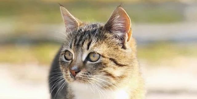
Captures detailed movement and behavioural information for pet cats across the United States. The data, published by the Movebank Data Repository, provides crucial insights into the ecology and local impacts of domestic cats, specifically relating to their spatial behaviour and predatory habits. The file includes raw tracking data detailing GPS coordinates and timestamps, along with essential characteristics such as the animal’s age, sex, neuter status, and observed hunting activity. This research underpins findings regarding the small home ranges and significant local ecological impacts of these animals.
Columns
The tracking data includes fields detailing location, time, and specific deployment contexts:
- timestamp: The date and time associated with the sensor measurement (UTC or GPS time).
- location lat / location long: The estimated geographic latitude and longitude of the cat's position (WGS84 reference system).
- animal ID: A unique identifier assigned to the individual cat.
- animal sex: The sex of the animal (male or female).
- animal life stage: The age class of the animal at the start of deployment (e.g., 'adult', 'juvenile', or age in years).
- animal reproductive condition: Condition such as 'Neutered' or 'Spayed'.
- animal comments: Additional notes, often detailing hunting activity (e.g., "Hunt: Yes; prey_p_month: 4") or indoor habits.
- tag ID: A unique identifier for the tracking device used.
- attachment type: The method used to attach the tag, which is consistently a 'collar' in this study.
- sensor type: The type of measuring device used, primarily GPS.
- ground speed: The estimated speed of the animal in metres per second.
- heading: The direction of movement, measured in decimal degrees clockwise from north.
- study site: The location, such as the deployment site (e.g., 'NC, United States').
Distribution
The data package includes tracking data, typically presented in a standard file format, and a reference data file detailing the attributes of the individual animals and deployments. The primary taxonomic focus is Felis catus. The dataset includes records for 154 unique animals/tags. The tags used were manufactured by Mobile Action Technology, Inc., model i-GotU, with a mass of 119 grams, and data retrieval required the physical recovery of the tag. Data processing was typically conducted using @Trip PC software.
Usage
This data is ideal for analysing domestic animal movement ecology, urban wildlife conservation, and predator-prey dynamics within human-dominated landscapes. Specific applications include:
- Modelling feline spatial behaviour and home range calculation.
- Assessing the ecological footprint of pet populations.
- Investigating correlations between neuter status, age, and hunting metrics.
- Developing predictive models for animal location using GPS timestamps and speed data.
Coverage
The data collection is focused geographically on the United States, with deployments primarily noted across various states, including North Carolina and Connecticut. The time range of the deployments spans from August 2013 to July 2016. The data covers domestic cats, detailing attributes like sex, life stage, and reproductive condition, providing demographic context for the movement patterns recorded.
License
CC0: Public Domain
Who Can Use It
Intended users include Academic Researchers focusing on ecology, zoology, or animal conservation; Data Scientists skilled in processing large GPS movement trajectories; and Policy Makers or NGOs interested in managing domestic animal populations and their environmental interactions. Researchers interested in re-using or re-analysing the data are strongly encouraged to contact the original data creators.
Dataset Name Suggestions
- Pet Cat GPS Tracking Data, USA
- Felis Catus Movement and Ecological Impact Data
- US Domestic Cat Home Range Study
Attributes
Original Data Source: Felis Catus Movement and Ecological Impact Data
Loading...