Dark Mode

Historical Amazon Deforestation Microrregion Data
Product Reviews & Feedback
Tags and Keywords
Trusted By


"No reviews yet"
Free
About
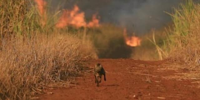
Historical satellite data details deforestation that occurred in the Amazônia rainforest. This product contains records of deforestation rates segmented by counties located within the region. The data was compiled from the Brazilian National Institute for Space Research (INPE) and is useful for environmental monitoring and analysis of climate change impacts.
Columns
- Nome_Microrregião: Represents the County name. This field contains 5,570 unique and valid values, showing no missing entries (100% valid).
- Código Município Completo: Represents the ID County. While there are 5,570 total records, all values in this column are missing (100% missing).
Distribution
The data file is provided in CSV format and is titled 'Counties.csv', with a file size of 121.92 kB. The dataset contains 5,570 total records. The expected update frequency for this specific product is 'Never'.
Usage
Ideal applications include geospatial data analytics, creating visualisations for data storytelling, and research in atmospheric science. The data is highly relevant for users working within the BigQuery platform.
Coverage
The geographic scope is limited to the Amazônia rainforest area, focusing on specific microrregions and counties. The time range spans two decades, covering the period from the year 2000 up to and including 2021.
License
CC0: Public Domain
Who Can Use It
- Data Analysts: To map and study historical deforestation patterns.
- Environmental Scientists: For correlating environmental changes with atmospheric science data or animal habitat studies.
- Policy Groups: To monitor regional deforestation trends and inform conservation strategies.
Dataset Name Suggestions
- Amazônia Rainforest Deforestation 2000 - 2021
- INPE Brazilian Deforestation Satellite Data
- Amazônia County Deforestation Rates
- Historical Amazon Deforestation Microrregion Data
Attributes
Original Data Source:Historical Amazon Deforestation Microrregion Data
Loading...