Dark Mode

New Zealand Crime & Geospatial Data
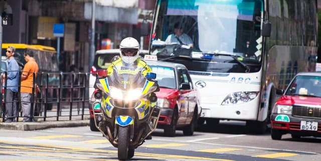
Public Safety & Security
Tags and Keywords
Trusted By


"No reviews yet"
Free
About
Unveiling motor vehicle theft records from the New Zealand police department database, this collection offers a detailed look into crime dynamics over a six-month period. The files allow for the exploration of patterns and trends, providing essential data points such as vehicle type, make, year, colour, theft date, and specific region. Analysts can utilise this resource to uncover insights regarding the most and least common days for theft, variations in targeted vehicle types across different locations, and the average age of stolen automobiles. It serves as a vital tool for crime analysis, geospatial examination, and understanding the broader landscape of vehicle security in Aotearoa.
Columns
locations.csv
- location_id: Unique identifier for the region.
- region: Name of the region (e.g., Northland).
- country: Country where the region is located (New Zealand).
- population: Total population count of the region.
- density: Population density of the region (population per square kilometre).
make_details.csv
- make_id: Unique identifier for the vehicle make.
- make_name: Name of the manufacturer/make.
- make_type: Classification of the make (Standard or Luxury).
stolen_vehicles.csv
- vehicle_id: Unique identifier for a specific stolen vehicle.
- vehicle_type: Categorisation of the vehicle.
- make_id: Identifier matching the make_details table.
- model_year: The manufacturing year of the vehicle.
- vehicle_desc: Description of the vehicle.
- color: Colour of the vehicle.
- date_stolen: The date the theft occurred (MM/DD/YY).
- location_id: Identifier matching the locations table.
Distribution
The data is structured into relational CSV files (
locations.csv, make_details.csv, and stolen_vehicles.csv), facilitating easy integration into relational databases or analysis software.- Regions Covered: 16 unique regions.
- Update Frequency: Expected to be static (Never updated).
Usage
Ideal applications for this collection include:
- Crime Analysis: Identifying high-risk areas and temporal patterns in criminal activity.
- Geospatial Examination: Mapping theft density against population statistics.
- Time Series Analysis: Tracking theft frequency over days of the week or months.
- Policy Development: Informing resource allocation for law enforcement based on regional hotspots.
- Insurance Risk Assessment: Evaluating risk factors based on vehicle make, type, and location.
Coverage
- Geographic Scope: New Zealand (Aotearoa), covering 16 distinct regions including Northland.
- Temporal Scope: Six months of theft records.
- Demographic Scope: Includes regional population and density statistics ranging from approximately 32.7k to 1.7m inhabitants per region.
License
CC0: Public Domain
Who Can Use It
- Law Enforcement Agencies: For strategic planning and resource deployment.
- Data Analysts & Criminologists: For academic research and pattern recognition.
- Insurance Companies: For adjusting premiums and understanding risk profiles.
- Government Bodies: For public safety monitoring and policy making.
- Journalists: For reporting on national crime trends.
Dataset Name Suggestions
- Aotearoa Stolen Vehicle Chronicles
- NZ Motor Vehicle Theft Records
- New Zealand Crime & Geospatial Data
- Kiwi Vehicle Security Trends
- Regional Vehicle Crime Stats NZ
Attributes
Original Data Source: New Zealand Crime & Geospatial Data
Loading...