BR Police Historical Collision Records
Government & Civic Records
Tags and Keywords
Trusted By


"No reviews yet"
Free
About
This is a collection of legacy traffic incident reports generated by the Baton Rouge City Police. It serves as a static archive detailing motor vehicle accidents and related events occurring across the city between 2010 and 2020. The collection allows for granular analysis of collision frequency, locations, underlying causes, and resulting outcomes like injuries or fatalities.
Columns
The data file includes 34 columns. Key variables include:
- FILE#: A unique identifier assigned to each traffic incident report.
- CRASH DATE: The exact date the collision or incident took place. Data ranges from early 2010 through the end of 2020.
- CRASH TIME: The recorded time of the incident.
- TOT VEH: The total number of vehicles reported to be involved in the incident, typically two.
- DISTRICT: The police district responsible for handling the incident.
- STREET NAME: The name of the road where the incident occurred, with AIRLINE and I10 being highly common locations.
- OCCURED ON: Specifies the location type, such as CITY STREET or STATE HWY.
- HIT&RUN: A flag indicating if the incident involved a hit and run.
- FATALITY: A flag indicating if the incident resulted in a fatality.
- INJURY: A flag indicating if any injury was reported.
- MANNER OF COLLISION: Describes how the vehicles collided, with REAR END being the most frequently recorded type.
- WEATHER: The weather conditions reported at the time of the incident, often recorded as CLEAR.
Distribution
The data is available as a single file, typically in CSV format, named Legacy_Baton_Rouge_Traffic_Incidents.csv, with a size of approximately 64.24 MB. The collection consists of 34 columns and contains approximately 177,000 records. Since the data originates from a previous reporting system retired on 1 January 2021, the expected update frequency is never.
Usage
This information is ideal for:
- Traffic Safety Studies: Analysing long-term trends in road accidents, injury rates, and primary crash factors.
- Urban and Transportation Planning: Identifying dangerous intersections, assessing the effectiveness of past road infrastructure changes, and planning future safety measures.
- Law Enforcement Analysis: Mapping historical incident hot spots for resource allocation and patrol optimisation.
- Academic Research: Supporting sociological or public administration studies related to law, traffic, and urban environments.
Coverage
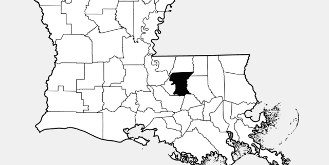
The dataset covers traffic incidents that occurred exclusively within Baton Rouge, Louisiana. The time range spans from 3 January 2010 up to and including 31 December 2020.
A critical note on data availability: This collection represents the 'legacy' system. For traffic incident data reported from 1 January 2021 onwards, users must consult the Baton Rouge Police Department's newer reporting system platform.
License
CC0: Public Domain
Who Can Use It
- Data Scientists and Analysts: Utilising crash dates, times, and weather data to build predictive models for collision risk.
- City Engineers and Planners: Reviewing collision types (e.g., REAR END) and locations to justify infrastructure improvements or traffic light timing changes.
- Journalists and Civic Organisations: Reporting on historical trends in road safety and accountability within the city.
- Insurers: Assessing regional risk profiles based on historical incident density and severity.
Dataset Name Suggestions
- Baton Rouge Traffic Incidents Legacy Archive (2010-2020)
- BR Police Historical Collision Records
- Louisiana Traffic Safety Dataset
- Baton Rouge Road Incident Reports
Attributes
Original Data Source: BR Police Historical Collision Records
Loading...
