Dark Mode

QLD Health COVID-19 Geographic Case Data
Patient Health Records & Digital Health
Tags and Keywords
Trusted By


"No reviews yet"
Free
About
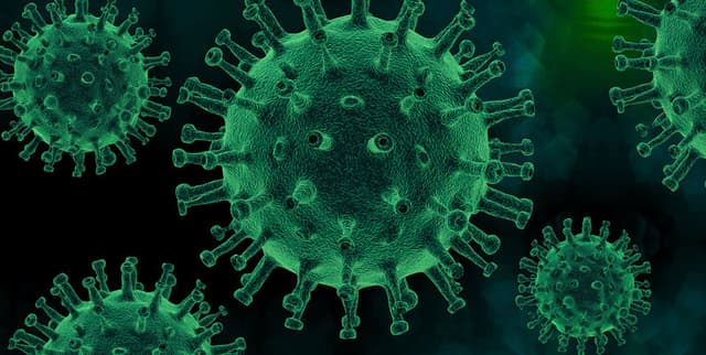
Records of Queensland's COVID-19 cases are organised in this line list by the date of notification, including details on the individual's location of usual residence and the identified source of infection. The dataset encompasses geographic indicators such as Postcode, Local Government Area (LGA), and Statistical Area Level 2 (SA2), alongside the specific Hospital and Health Service (HHS) area. Location variables are masked as null for cases where the individual does not usually reside in Queensland. Additionally, SA2 data is not available for pathology tests conducted prior to the June 2021 update of the Notifiable Conditions System. As of March 2023, the data incorporates results from the Queensland Public RAT Portal, with duplicates and re-infections integrated following re-evaluation within the Notifiable Conditions System.
Columns
- NOTIFICATION_DATE: The date Queensland Health were notified of the COVID-19 case detection.
- HHS: The Queensland Hospital and Health Services Area statutory body where the case usually resides. If the case resides outside Queensland, this reflects the HHS of public health management.
- POSTCODE: The Queensland postcode of the case's usual residence.
- LGA_NAME: The Queensland Local Government Area where the case usually resides.
- SOURCE_INFECTION: The source of infection identified after epidemiological public health investigation (e.g., Locally acquired, Under Investigation).
- SA2_CODE: The nine-digit Statistical Area Level 2 code for the case's usual residence (sourced from ABS 2016).
- SA2_REGION: The Statistical Area Level 2 region name for the case's usual residence (sourced from ABS 2016).
Distribution
- Format: CSV (opendata_qld_covidcase_loc.csv)
- Size: Approximately 153.37 MB
- Row Count: Approximately 1.72 million records (based on valid notification dates)
- Data Structure: 7 columns
Usage
- Epidemiological Analysis: Tracking the spread and source of infections across different regions in Queensland.
- Public Health Resource Allocation: Identifying hotspots (LGA or HHS level) to manage healthcare resources.
- Demographic Studies: Analysing infection rates relative to population centres and statistical areas.
- Policy Evaluation: Assessing the impact of health measures based on infection source data.
Coverage
- Geographic Scope: Queensland, Australia (includes Postcode, LGA, SA2, and HHS data).
- Demographic Scope: Individuals with notified COVID-19 detections.
- Time Range: Historical data including notifications prior to June 2021 and updates up to at least March 2023.
- Specific Notes: SA2 data is absent for tests prior to June 2021. Location data is null for non-Queensland residents.
License
Attribution 4.0 International (CC BY 4.0)
Who Can Use It
- Public Health Researchers: For spatial analysis of disease transmission.
- Government Analysts: For reporting on pandemic trends and regional impact.
- Data Scientists: For modelling infection curves and source attribution.
- Journalists: For visualising regional case data.
Dataset Name Suggestions
- Queensland COVID-19 Case Line List
- QLD COVID-19 Location and Infection Source Data
- Queensland Notifiable Conditions COVID-19 Register
- QLD Health COVID-19 Geographic Case Data
Attributes
Original Data Source: QLD Health COVID-19 Geographic Case Data
Loading...