Dark Mode

Hydrological Rivers Dataset
Data Science and Analytics
Tags and Keywords
Trusted By


"No reviews yet"
Free
About
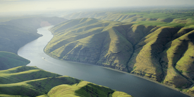
This dataset provides a ranking of global rivers based on their average discharge, representing their water flow rate. It specifically focuses on major rivers with a discharge exceeding 2,000 cubic metres per second (m³/s). The data offers insight into the immense scale of global water flow, illustrating that the Amazon River alone can fill over 83 Olympic-sized swimming pools every second at its mouth, with the total annual runoff from all rivers globally approaching 31,400 billion m³. This makes it a valuable resource for understanding the hydrological characteristics of the world's largest rivers.
Columns
- s_no: The numerical rank of the river according to its average discharge or water flow rate.
- continent: The name of the continent where the river is primarily located, for example, South America or Asia.
- river: The official name of the river. There are 136 unique river names in the dataset.
- length_km: The measured length of the river in kilometres.
- length_miles: The measured length of the river in miles.
- drainage_area: The area, expressed in square kilometres, that the river's basin covers, representing the land from which the river collects water.
- average_discharge: The average water flow rate of the river, provided in cubic metres per second.
- outflow: The larger body of water, such as an ocean or sea, into which the river ultimately discharges its water.
Distribution
The dataset is provided as a CSV file, specifically
rivers_by_discharge.csv, with a file size of 9.28 kB. It consists of 8 distinct columns and typically contains 136 records, though there are minor instances of missing values for the length_miles (2 records) and drainage_area (3 records) columns.Usage
This dataset is ideal for various applications and analyses:
- Geographical and hydrological studies: Researchers can analyse the distribution and characteristics of major river systems worldwide.
- Environmental assessment: Useful for understanding water resource management and the scale of freshwater flows into oceans.
- Educational purposes: Provides factual data for teaching geography, environmental science, and water systems.
- Data visualisation: Can be used to create maps and charts illustrating river sizes and global water distribution.
- Comparative analysis: Facilitates comparisons between rivers across different continents based on their discharge, length, and drainage area.
Coverage
- Geographic Scope: The dataset covers rivers across the globe, with representation from multiple continents, including significant coverage in South America and Asia.
- Time Range: The data represents average discharge figures, without a specified time range, implying a general, non-time-sensitive average. The dataset is not expected to be updated frequently, if at all.
- Data Specificity: Only includes rivers with an average discharge greater than 2,000 m³/s.
License
CC BY-SA 3.0
Who Can Use It
- Environmental Scientists and Hydrologists: For in-depth research into global water cycles, river systems, and their environmental impacts.
- Geographers and Cartographers: To map and analyse the world's major rivers and their basins.
- Educators and Students: As a valuable learning resource for topics in physical geography, environmental studies, and water resources.
- Policy Makers and Urban Planners: For high-level understanding of water availability and large-scale water management.
- Data Analysts and Developers: For building applications, dashboards, or conducting statistical analysis related to global rivers.
Dataset Name Suggestions
- Global Rivers by Discharge
- Major World Rivers Flow Rate
- Hydrological Rivers Dataset
- World's Largest Rivers by Flow
- Global River Discharge & Geography
Attributes
Original Data Source:Hydrological Rivers Dataset
Loading...
Free
Download Dataset in CSV Format
Recommended Datasets
Loading recommendations...