Dark Mode

UK Fire Incidents 2019-2022 Analysis
Data Science and Analytics
Tags and Keywords
Trusted By


"No reviews yet"
Free
About
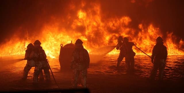
Registered fire cases within the UK over a three-year period. This detailed resource offers substantial information suitable for extensive visualization and in-depth analysis by both beginner and experienced users. The collection includes crucial metrics regarding the nature of the emergency, the location, property type, and the operational response effectiveness of the emergency services.
Columns
The dataset features 39 columns, detailing various facets of each incident:
- IncidentNumber: The unique identifier assigned to each emergency event.
- DateOfCall and TimeOfCall: The exact timestamp of when the call was logged.
- CalYear and HourOfCall: Numeric fields specifying the year and concrete hour of the incident call.
- IncidentGroup: The major classification of the emergency, such as 'False Alarm' (accounting for roughly 50% of records) or 'Special Service'.
- StopCodeDescription: The stated reason for the call cessation.
- PropertyCategory and PropertyType: Detailed classifications of the affected building or location (e.g., Dwelling, Non Residential, specific types of flats or houses).
- Postcode_district: The area postcode information.
- IncGeo_BoroughName: The name of the specific local authority area (e.g., Westminster, Camden).
- Easting_m and Northing_m: Geographic coordinates (available for 45% of records).
- Latitude and Longitude: Global coordinates (available for 45% of records).
- IncidentStationGround: The fire station responding to the incident, such as Soho or Paddington.
- FirstPumpArriving_AttendanceTime: The time, in seconds, until the initial pump arrived (mean time is 308 seconds).
- NumPumpsAttending: The quantity of fire pumps deployed to the incident (mean attendance is 1.57 pumps).
- Notional Cost (£): The calculated estimated cost associated with managing the incident (mean cost is approximately £472).
Distribution
The data is delivered as a CSV file titled fire_cases_in_uk_last_3_years.csv, with a file size of 107.09 MB. It contains 39 columns, representing approximately 332,000 distinct registered incidents. The dataset is expected to be updated monthly.
Usage
The data is valuable for statistical modelling of emergency service response times and efficiency. It supports geographical analysis to identify high-risk incident hot spots and allows for studying trends related to incident types, such as the prevalence of false alarms versus actual emergencies. Analysts can use this information for resource allocation planning and public safety benchmarking.
Coverage
The scope covers registered fire incidents primarily within the UK, focusing on the period of the last three years, specifically running from 1 January 2019 up to 28 February 2022. While the dataset encompasses the UK, location details often refer to London boroughs (such as Westminster and Camden). Precise location coordinates (Latitude/Longitude, Easting/Northing) are available for just under half of the total records (45%).
License
CC0: Public Domain
Who Can Use It
- Data scientists and analysts working on predictive models for public safety.
- Researchers conducting academic studies on urban incident patterns and infrastructure vulnerability.
- Government agencies or Fire and Rescue Services looking to track operational metrics and improve response strategies.
- Students requiring a large, varied, real-world dataset for practicing data cleaning, analysis, and visualisation techniques.
Dataset Name Suggestions
- UK Fire Incidents 2019-2022 Analysis
- Registered Fire Cases and Response Metrics
- UK Emergency Incident Log
- London Fire Brigade Call Data
Attributes
Original Data Source: UK Fire Incidents 2019-2022 Analysis
Loading...
Free
Download Dataset in CSV Format
Recommended Datasets
Loading recommendations...