Dark Mode

Deepest Global Lakes Register
Data Science and Analytics
Tags and Keywords
Trusted By


"No reviews yet"
Free
About
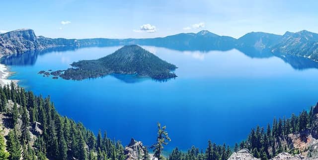
This collection provides detailed physical characteristics and geographical information concerning the world's most profound lakes. It serves as an accessible resource for understanding extreme bathymetry and global water bodies. The data records key attributes such as lake names, their corresponding countries, and depth measurements, provided conveniently in both meters and feet. It is a well-structured list ideal for initial exploration into geographical datasets.
Columns
- Name: The formal title or common name of the individual lake, featuring 36 distinct entries.
- Country: Identifies the nation or multiple nations under which the body of water is located. For instance, Canada accounts for the most common entry at 14%.
- Reigon: Specifies the particular region, if applicable, where the lake is situated. Users should note that regional data is missing for 22% of the records.
- Depth (in meters): The measured maximum depth of the lake expressed using the metric system.
- Depth (in feet): The measured maximum depth of the lake expressed using the imperial system.
- Depth^2/area: A calculated ratio used in limnology, determined by dividing the square of the depth by the surface area.
Distribution
This dataset typically utilises the CSV file format. It contains a total of 36 records across 6 distinct columns. The data quality is high, with 100% validity across most fields. Only the 'Reigon' column contains missing values, specifically 8 records, which represents 22% of the total entries. The data is expected to be updated on an annual basis.
Usage
This data product is perfectly suited for educational demonstrations and teaching basic geographical concepts. It is an excellent tool for data visualisation projects that aim to map and compare global natural features. Furthermore, it can be utilised for simple analytical tasks in environmental studies focused on the physical scale of major lakes.
Coverage
The scope of this data is worldwide, specifically detailing lakes located in various countries, including but not limited to, Canada and Norway. While the dataset is a current snapshot, it is anticipated to be revised and updated annually. The focus is strictly geographical and bathymetric.
License
CC0: Public Domain
Who Can Use It
- Beginner Data Analysts: Those new to data science can use this small, clean, tabular dataset to practice foundational skills.
- Geography Students: Ideal for school projects requiring real-world information on water bodies.
- Developers: Suitable for populating maps or informational applications requiring verified geographical data points.
Dataset Name Suggestions
- Deepest Global Lakes Register
- World Lakes Depth Metrics
- The 36 Deepest Lakes Inventory
Attributes
Original Data Source: Deepest Global Lakes Register
Loading...
Free
Download Dataset in CSV Format
Recommended Datasets
Loading recommendations...