Dark Mode

International Warfare and Population Dynamics Index
Data Science and Analytics
Tags and Keywords
Trusted By


"No reviews yet"
Free
About
Tracking the intersection of geopolitical instability and demographic changes provides a window into how warfare reshapes nations. This collection of records evaluates the specific features of countries involved in disputes, offering a detailed look at mortality, affected areas, and population shifts. By quantifying the scale of these events, the data serves as a vital foundation for researchers aiming to understand the long-term societal costs of global instability and the direct impact on human life across nearly three decades.
Columns
- gwno: A numeric code assigned to each individual nation involved in a conflict.
- country: The official name of the country, with 192 unique nations represented.
- year: The specific calendar year in which the nation was involved in a conflict, spanning from the late 1980s to the mid-2010s.
- ongoing: An indicator showing whether the conflict was active during the recorded year.
- gwarea_tot: The total geographic area involved in the conflict.
- gwsum_bestdeaths: The sum of all fatalities recorded for each country within the context of the dispute.
- gwsum_best_sb: The sum of the best estimated figures related to the conflict.
- gwshare_confl: A metric representing the proportional share of the conflict within a regional or global context.
- gwpop: The total population of the country during the period of study.
- gwpop_confl: The specific population count of the country during the active conflict in a given year.
Distribution
The information is delivered in a CSV format titled
conflicts.csv with a file size of 310.09 kB. The collection contains 5,016 valid records structured across 18 columns, though some fields contain missing values that require preprocessing and cleaning. The resource maintains a top-tier usability rating of 10.00 and is not expected to receive future updates.Usage
This resource is ideal for performing longitudinal studies on the demographic effects of war and geopolitical disputes. Analysts can use the population and mortality metrics to model the human cost of instability or to practice advanced data cleaning and clustering techniques. It also supports the investigation of how the geographic scale of a conflict correlates with total deaths and national population shifts over time.
Coverage
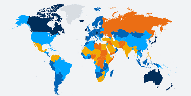
The geographic scope is global, representing 192 unique countries, with the United States of America appearing most frequently in the records. Temporally, the data spans from 1989 to 2016. While core identification fields are complete, certain metrics such as area and specific death sums have approximately 64% availability, while the conflict share metric is available for about 9% of the records.
License
CC0: Public Domain
Who Can Use It
Beginner and intermediate data scientists can leverage these records to develop skills in data cleaning, preprocessing, and exploratory analysis. Academic researchers in the fields of sociology, history, and political science can utilise the metrics to study the impact of conflict on national populations. Additionally, non-governmental organisations and policy analysts may find the historical mortality and area data useful for benchmarking the consequences of regional instability.
Dataset Name Suggestions
- Global Conflict and Demographic Impact Registry (1989–2016)
- International Warfare and Population Dynamics Index
- Three Decades of Global Conflict Mortality and Area Data
- National Population and Conflict Impact Statistics
Attributes
Original Data Source: International Warfare and Population Dynamics Index
Loading...