Dark Mode

Bangladesh Localities and Divisions Geolocation
Census & Demographics
Tags and Keywords
Trusted By


"No reviews yet"
Free
About
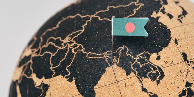
Geolocation information regarding major cities, neighbourhoods, and localities within Bangladesh facilitates detailed spatial and demographic analysis. Sourced using a combination of Nominatim, Positionstack, and Opencage geocoding APIs, the data provides precise coordinates and administrative classifications for various locations. It serves as a supplementary resource for mapping, regional planning, and understanding the geographic distribution of localities across the country's divisions.
Columns
- area_name: The specific name of the location (e.g., Daulatpur).
- latitude: The latitudinal coordinate of the location.
- longitude: The longitudinal coordinate of the location.
- area_type: The classification of the location, such as locality, neighbourhood, or venue.
- county_name: The name of the district or county where the location is situated (e.g., Dhaka, Chittagong).
- region: The name of the administrative division or region (e.g., Dhaka Division, Chattogram Division).
Distribution
- Format: CSV
- Size: 36.73 kB
- Structure: 6 columns
- Records: 560 valid entries with 100% validity across key coordinate columns.
Usage
- Supplementary data for spatial analysis of Bangladesh's demographics.
- Geospatial mapping of administrative divisions and local neighbourhoods.
- Enhancing location-based services and applications focused on Bangladesh.
Coverage
- Geographic Scope: Bangladesh, covering major cities, neighbourhoods, and localities.
- Administrative Scope: Includes data across 64 unique districts (counties) and 11 unique regions (divisions).
- Data Availability: High validity for coordinates and county names; 'area_type' consists primarily of localities (84%).
License
CC BY-NC-SA 4.0
Who Can Use It
- Geospatial Analysts: For mapping and regional distribution studies.
- Demographers: To support population and locality analysis.
- Urban Planners: For understanding the layout of neighbourhoods and localities within districts.
- Data Scientists: As a supplementary dataset for enriching location-based models.
Dataset Name Suggestions
- Bangladesh Localities and Divisions Geolocation
- Bangladesh Spatial Coordinates and Administrative Regions
- Major Cities and Neighborhoods of Bangladesh
- Bangladesh Regional Geodata
Attributes
Original Data Source: Bangladesh Localities and Divisions Geolocation
Loading...
Free
Download Dataset in ZIP Format
Recommended Datasets
Loading recommendations...