Dark Mode

Private School Survey (PSS) US Feature Class
Education & Learning Analytics
Tags and Keywords
Trusted By


"No reviews yet"
Free
About
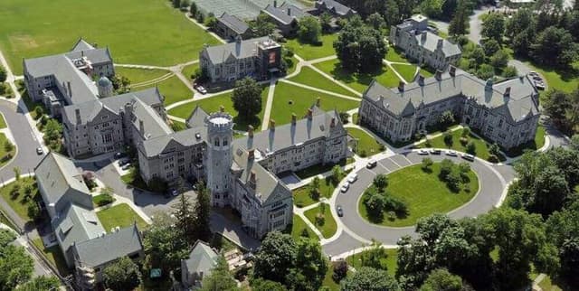
Identification and analysis of private elementary and secondary education facilities across the United States are made possible through this feature set. It encapsulates prekindergarten through 12th-grade institutions as recorded for the 2017-2018 school year. Built upon data from the National Center for Education Statistics and the Private School Survey, these records offer a detailed look at the private schooling landscape, having undergone rigorous validation to ensure spatial accuracy and correct attribution for thousands of educational sites.
Columns
- Geo Point: The latitude and longitude coordinates for each facility.
- Geo Shape: The digital geometric structure representing the school's location.
- OBJECTID: A unique internal reference number for each record.
- FID_1: A secondary feature identification code.
- NCESID: The unique identifier assigned by the National Center for Education Statistics.
- NAME: The official title of the private educational institution.
- ADDRESS: The physical street location of the school.
- CITY: The town or city where the facility resides.
- STATE: The two-letter US state code for the location.
- ZIP: The five-digit postal code for the school.
Distribution
Provided in a comma-separated values format, the file
us-private-schools.csv occupies 12.67 MB of storage. It contains approximately 22,615 unique records, each verified for validity with no mismatched or missing entries in the core geographic fields. The resource is designed for annual updates to reflect shifts in the educational sector and maintains a usability score of 10.00.Usage
Ideal for geospatial mapping and site-selection analysis for educational services. It is well-suited for academic research concerning the distribution of non-public schools and for integrating into property or community valuation models. Urban planners can utilise the location data to assess service coverage in specific municipalities, while developers can integrate the coordinates into school-finder applications.
Coverage
The scope extends to all fifty states and territories of the United States. It focuses on the 2017-2018 academic cycle, capturing data for all grade levels from prekindergarten up to the 12th grade. The records specifically include updates for thousands of records and the removal of entries no longer applicable or those with an unknown status, ensuring a high-quality representation of active facilities during the period.
License
CC0: Public Domain
Who Can Use It
Academic researchers can leverage these records to study educational equity and school choice trends. Real estate analysts may use the proximity of private schools to help determine local market appeal. Furthermore, government agencies can use the validated spatial data for infrastructure management and disaster response planning involving educational populations.
Dataset Name Suggestions
- US Private School Geospatial Registry (2017-2018)
- National Atlas of Private K-12 Educational Facilities
- Private School Survey (PSS) US Feature Class
- American Private Elementary and Secondary School Locations
- Geographic Database of US Non-Public Schools
Attributes
Original Data Source: Private School Survey (PSS) US Feature Class
Loading...
Free
Download Dataset in ZIP Format
Recommended Datasets
Loading recommendations...