Dark Mode

Central Asian Earthquake and Tectonic Activity Archive
Environmental Monitoring
Tags and Keywords
Trusted By


"No reviews yet"
Free
About
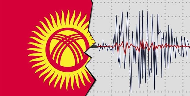
Monitoring seismic movements across the Central Asian landscape is vital for disaster preparedness and geological study. These records capture a decade of tectonic activity within and around Kyrgyzstan, highlighting the frequency and intensity of tremors. By documenting every event with a magnitude of 3.0 or higher, the information provides a foundation for identifying high-risk zones and understanding the structural vulnerabilities of the region. This resource tracks the physical characteristics of earthquakes to support safety assessments and scientific research into the area's subterranean dynamics.
Columns
- time: The exact moment the seismic event was recorded, provided in Coordinated Universal Time (UTC).
- latitude: The coordinate indicating the north-south position of the earthquake's epicentre.
- longitude: The coordinate indicating the east-west position of the earthquake's epicentre.
- depth: The vertical distance from the Earth's surface to the point of origin, measured in kilometres.
- magnitude: The energy released by the earthquake as measured on the Richter scale.
- place: A descriptive label identifying the nearest notable landmark or settlement to the event's epicentre.
Distribution
Presented in a single CSV file titled
cleaned_kyrgyzstan_earthquakes_report.csv with a total size of approximately 128.42 kB. The collection includes 1,528 valid records across 6 columns, maintaining 100% data integrity with no missing or mismatched entries. Updates are expected on an annual basis to ensure a current rolling record of regional seismic activity.Usage
This resource is ideal for conducting geospatial analysis to map the distribution of earthquake epicentres across Central Asia. It is well-suited for time-series analysis to identify patterns in the frequency and intensity of tremors over the last decade. Additionally, analysts can use these records for predictive modelling and regression tasks to understand the relationships between depth, magnitude, and location.
Coverage
The geographic scope is centered on Kyrgyzstan (latitude 41.2044, longitude 74.7661) and extends to a 500 km radius, encompassing both national territory and adjacent border regions. Temporally, the records span ten years of observations from May 2014 to May 2024. The data reflects all recorded seismic events meeting the magnitude threshold within this specific geological window.
License
CC0: Public Domain
Who Can Use It
Geologists and seismologists can leverage these records to study fault line behaviour and tectonic trends in the region. Urban planners and civil engineers may utilise the epicentre and magnitude data to assess regional risks and inform building standards. Furthermore, data science students can find this a valuable primary source for practicing geographic information system (GIS) mapping and statistical forecasting.
Dataset Name Suggestions
- Kyrgyzstan Decade of Seismicity (2014-2024)
- Central Asian Earthquake and Tectonic Activity Archive
- Kyrgyz Republic Seismic Epicentre and Magnitude Registry
- 10-Year Kyrgyzstan Geohazard and Earthquake Database
- Regional USGS Seismic Events Report: Kyrgyzstan Focus
Attributes
Original Data Source: Central Asian Earthquake and Tectonic Activity Archive
Loading...
Free
Download Dataset in CSV Format
Recommended Datasets
Loading recommendations...